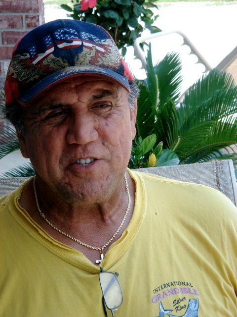
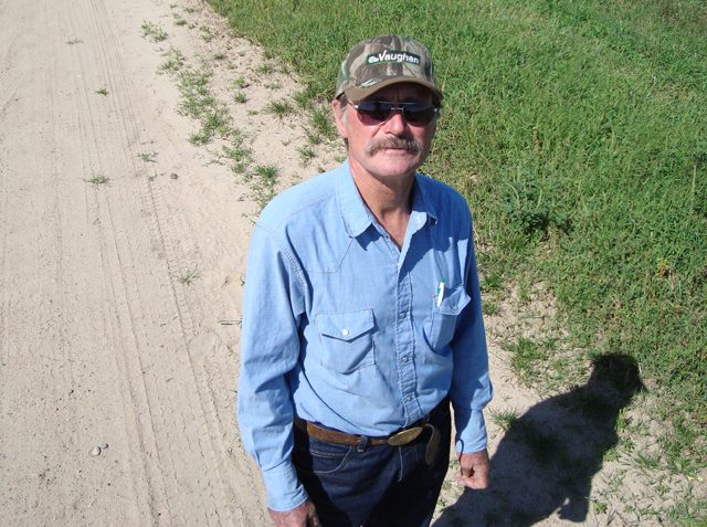
 Bob Price is one of many farmers in Southwestern Kansas who signed up for a government program that pays farmers for their water rights and put portions of their land back into grass. (Photo by Devin Browne)
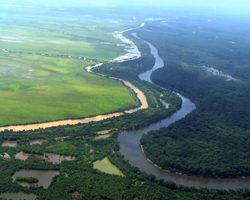
Right now, America’s Bread Basket
relies on an aquifer that’s nearly
drained. And, many say, it will dry
up if farmers keep pumping water
from it at the current rate. Devin
Browne reports the government plans
to pay farmers as one way to get them
to cut water use:
Transcript
Right now, America’s Bread Basket
relies on an aquifer that’s nearly
drained. And, many say, it will dry
up if farmers keep pumping water
from it at the current rate. Devin
Browne reports the government plans
to pay farmers as one way to get them
to cut water use:
Bob Price is every bit the Heartland farmer. He’s dressed head-to-toe in denim with a belt
buckle the size of a small plate. Just like his neighbors, he grows thirsty plants like corn
and alfalfa. But, the land is so dry and so sandy that many agricultural experts think it’s
not suitable for farming.
When Price moved to Southwestern Kansas in 1973, it didn’t seem to matter that the land
was so dry. In his pick-up, on the way to his farm, he tells me that it was the beginning
of an irrigation boom.
“Out here everyone was getting up early, going to work, and all along Highway 50 it was
irrigation pumps, irrigation pipe, engines; this was like a frontier back then.”
At that time, the government heavily subsidized the costs of irrigation. The farmers were
getting an almost immediate return. Their land appreciated almost overnight once
irrigation was established.
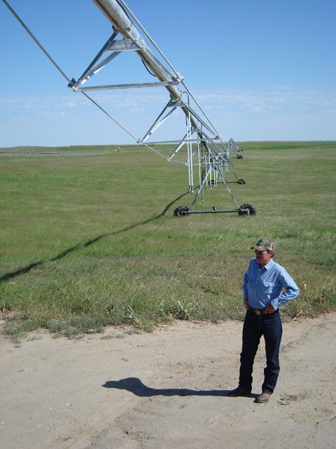
Farmers began to pump water – and lots of it – from one of the world’s largest
underground water supplies, the Ogallala Aquifer. They pumped two-feet of water for
every acre they farmed, right onto their crops.
“Meanwhile, the water table is declining and the water that we’re pumping is coming
from farther and farther down and, even with the same energy cost, it cost more to suck
water out of the ground from 500 feet.”
Last year, it cost Price more than $200,000 for the electricity to run the pumps to irrigate
about 900 acres of land. It’s one of the reasons he started to consider other options.
At the same time, the government, on both the state and federal level, started to think of
how to save the water left in the Ogallala Aquifer. Rivers were drying up and several
states in the Plains were suing or being sued for taking more water than they’re allowed.
Several states initiated water conservation programs as a response; Kansas was the first to
do it without the threat of a lawsuit. The program started in 2007. The strategy: pay
farmers to permanently retire their water rights.
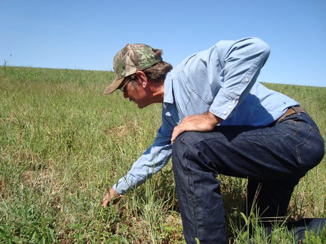
Price had actually been wanting to take some of his land out of crops anyways. He’s a
prairie chicken enthusiast and he wants to start a guided hunting business. Prairie
chickens need prairie grass.
“So we’re farming one day, and we’re thinking, ‘sure would be nice to get that into
grass,’ but that’s an overwhelmingly expensive proposition.”
It’s not expensive to plant or grow prairie grass. You don’t need any irrigation for either.
But you do need irrigation for a cover crop that the farmers are required to grow for two
years before they can get to the grass. Susan Stover is with the Kansas Water Office.
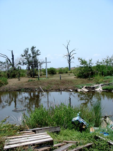
“If we did not get something re-established there, we could have potentially dust storms
again and sand dunes moving and really big blow-outs.”
Blow-outs like Depression-Era, Dust Bowl blow-outs. So Price has to plant a cover crop
and pat double what he gets from the conservation program just to irrigate it.
Ironically, the government pays him sizeable subsidies to keep other land in corn, which
needs water from the aquifer to grow. So basically, one government program is paying
Price to stop using so much water, while, at the same time, other government programs
are paying him subsidies to grow the crops that need so much water.
Price would actually like more money to put the land back into grass, but if he wants to
lead hunting trips for prairie chickens and he wants prairie grass, there’s only one outfit
willing to pay him anything to plant that grass – the government.
For The Environment Report, I’m Devin Browne.